 Chile Ramsar wetland
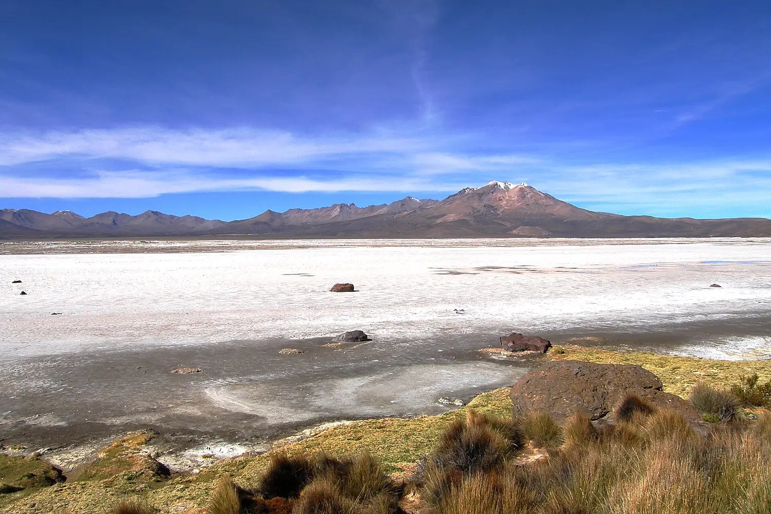
Salar de Surire Natural Monument
47 bird species recorded; the most in August.
Bachelot Pierre J-P · CC BY-SA 3.0
This month here
0 species in January.16 species in February.21 species in March.22 species in April.15 species in May.0 species in June.6 species in July.32 species in August.27 species in September.14 species in October.28 species in November.27 species in December.
The birds you are most likely to see in the month you choose, those that come for the season first. It opens on today's month.
No records for this month.
 VU
VU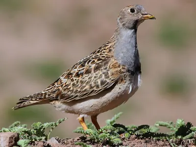
 NT
NT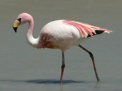 NT
NT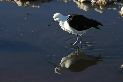
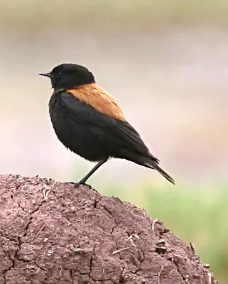

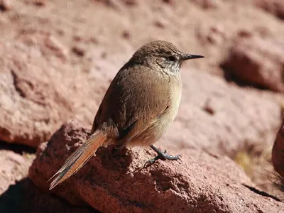
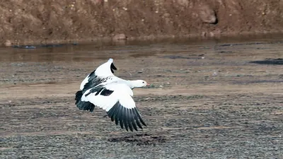
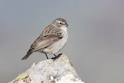
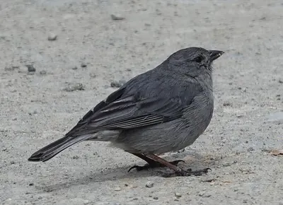
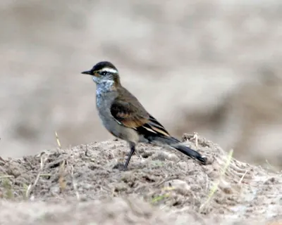
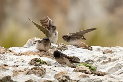 NTVUNT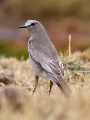
 VUNTNT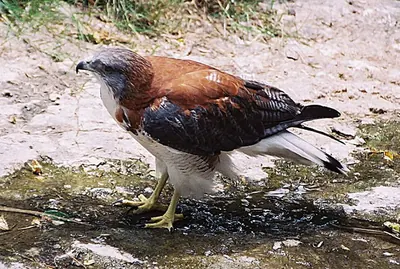
 NTNT
NTNT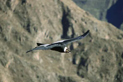 VU
VUNo records for this month.
VUNTVUNTNT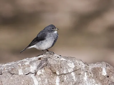
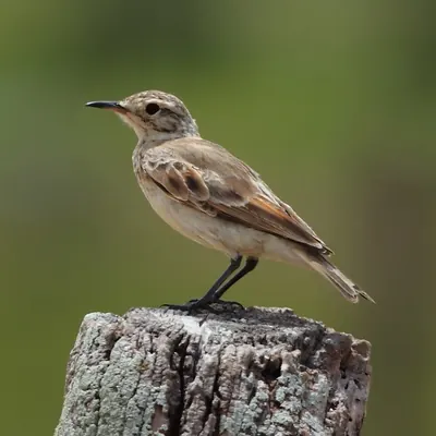 VUNTNTVU
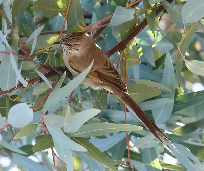 VUNTNTNTNTVUVUNTNTVU
- Resident all year
- Summer visitor comes to breed
- Winter visitor comes for the winter
- Passage migrant in spring and autumn
In numbers
47 species, counted.
Our own rating, from the records only: species (50 points), threatened species (20), migrants (20) and protected status — Ramsar, IBA, SPA, observatory (10).
- 47Speciesrecorded more than once
- 15Migrantssummer, winter or passage visitors
- 2ThreatenedVulnerable, Endangered or Critically Endangered (IUCN)
- 681Recordsopen records within 6 km
- 4,256 mAltitudeabove the sea
- 3Raptors
- 7Waders
- 1Gulls & seabirds
- 4Ducks & geese
- 1Herons, ibises & grebes
- 3Flamingos
- 22Songbirds
- 6Other birds
From open records (eBird and others, through GBIF, licensed for any use). More birdwatchers mean more records: a quiet place may have more birds than it shows.
The checklist
All 47 species.
By group, with the year in twelve cells: the darker the cell, the more often the bird is recorded that month.
Raptors3 species
- Buteo polyosomaButeo polyosoma
- Andean CondorVultur gryphusVU
- Aplomado FalconFalco femoralis
Waders7 species
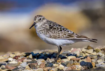
- Baird's SandpiperCalidris bairdii
- Andean AvocetRecurvirostra andina
- Grey-breasted SeedsnipeThinocorus orbignyianus
- Wilson's PhalaropePhalaropus tricolor
- Andean LapwingVanellus resplendens
- Tawny-throated DotterelOreopholus ruficollis
- Puna PloverCharadrius alticola
Gulls & seabirds1 species
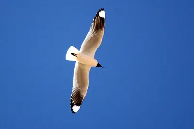
- Andean GullChroicocephalus serranus
Ducks & geese4 species
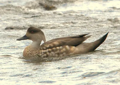
- Crested duckLophonetta specularioides
- Andean GooseChloephaga melanoptera
- Yellow-billed TealAnas flavirostris
- Yellow-billed PintailAnas georgica
Herons, ibises & grebes1 species
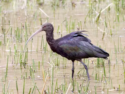
- Puna IbisPlegadis ridgwayi
Flamingos3 species
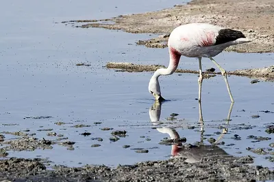
- Andean FlamingoPhoenicoparrus andinusVU
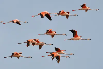
- Chilean flamingoPhoenicopterus chilensisNT
- James's FlamingoPhoenicoparrus jamesiNT
Songbirds22 species
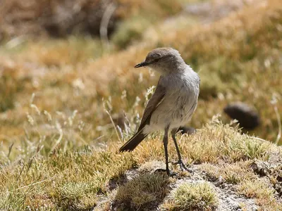
- Puna Ground-tyrantMuscisaxicola juninensis
- Cordilleran CanasteroAsthenes modesta
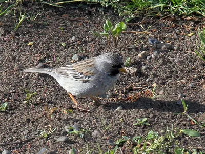
- Ash-breasted Sierra FinchGeospizopsis plebejus
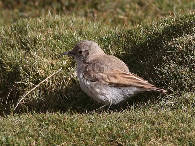
- Puna MinerGeositta punensis
- Plumbeous Sierra FinchGeospizopsis unicolor
- Bar-winged cinclodesCinclodes fuscus
- White-fronted Ground TyrantMuscisaxicola albifrons
- Andean SwallowHaplochelidon andecola
- Mourning Sierra FinchRhopospina fruticeti
- White-winged CinclodesCinclodes atacamensis
- Buff-breasted EarthcreeperUpucerthia validirostris
- Andean NegritoLessonia oreas
- White-throated Sierra FinchIdiopsar erythronotus
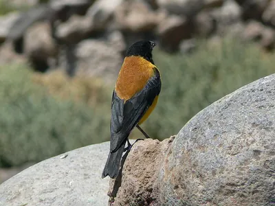
- Black-hooded Sierra FinchPhrygilus atriceps
- Black SiskinSpinus atratus
- Common MinerGeositta cunicularia
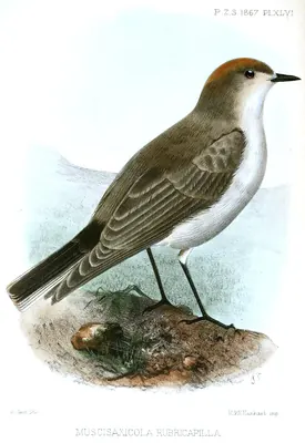
- Rufous-naped Ground-TyrantMuscisaxicola rufivertex
- Plain-mantled Tit-spinetailLeptasthenura aegithaloides
- Blue-and-white SwallowNotiochelidon cyanoleuca
- Black-billed Shrike-tyrantAgriornis montanus
- Yellow-rumped SiskinSpinus uropygialis
- Sicalis uropigyalisSicalis uropigyalis
Other birds6 species
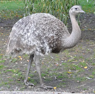
- Lesser RheaRhea pennata
- Puna TinamouTinamotis pentlandii
- Spot-winged PigeonPatagioenas maculosa
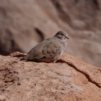
- Golden-spotted Ground-doveMetriopelia aymara
- Andean HillstarOreotrochilus estella
- Black-winged Ground-doveMetriopelia melanoptera
Monthly presence relative to all bird records that month, so a busy month does not inflate every species.
When to go
The most species in August.
Species recorded in each month, with the usual temperature and rain.
- Jan17°/1°43 mm
- Feb16°/1°37 mm
- Mar16°/0°23 mm
- Apr15°/-2°8 mm
- May12°/-5°2 mm
- Jun11°/-5°3 mm
- Jul10°/-6°3 mm
- Aug12°/-5°4 mm
- Sep15°/-4°8 mm
- Oct17°/-3°9 mm
- Nov18°/-1°10 mm
- Dec18°/0°31 mm
- Bar: species recorded that month.
- Temperature: average maximum / minimum (NASA, 1991–2020).
- Rain: monthly total.
The place
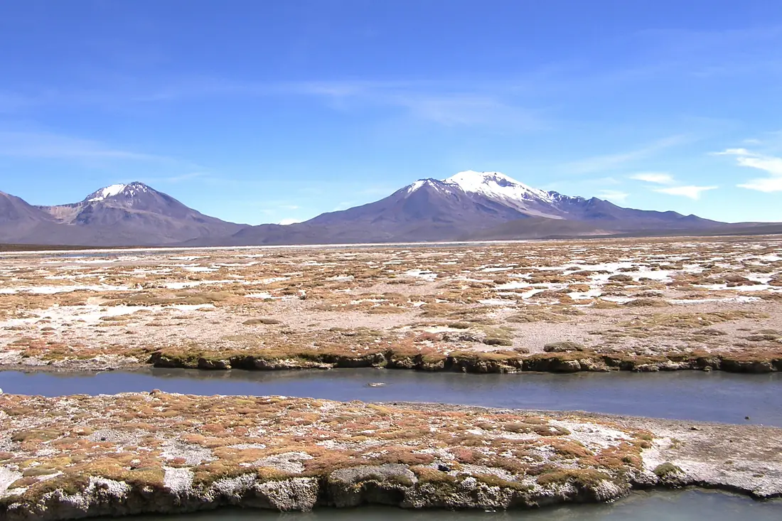
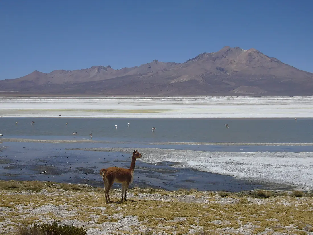
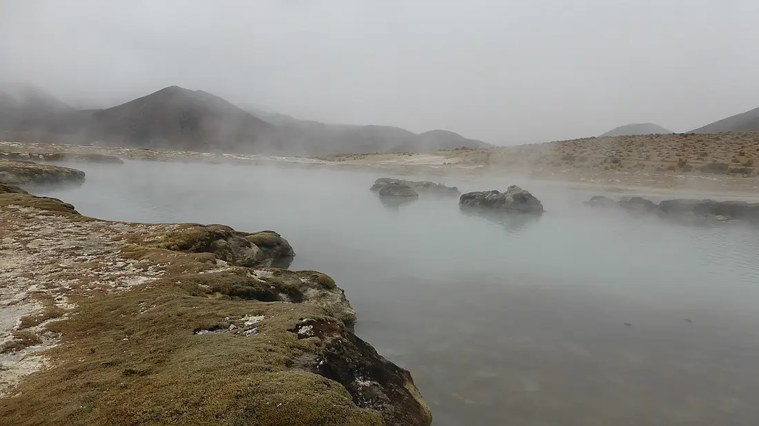
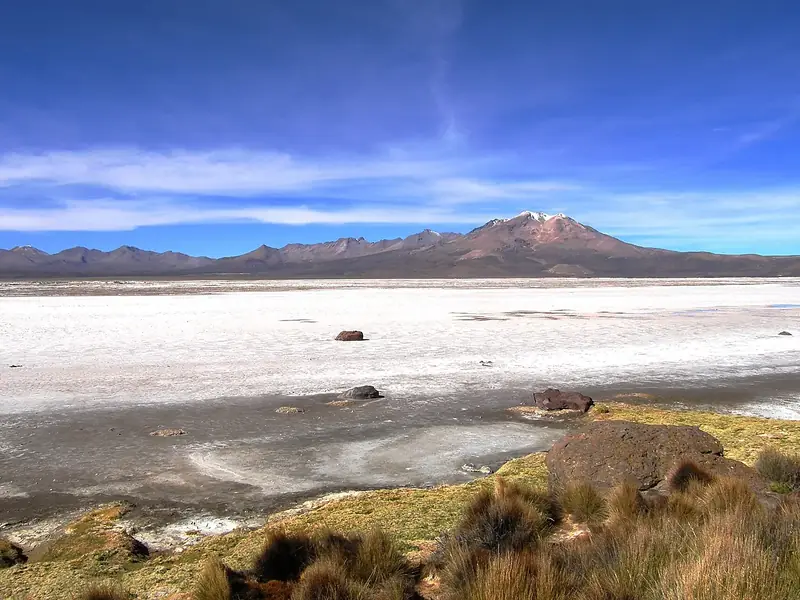
Salar de Surire Natural Monument.
Natural monument and ramsar area of Chile
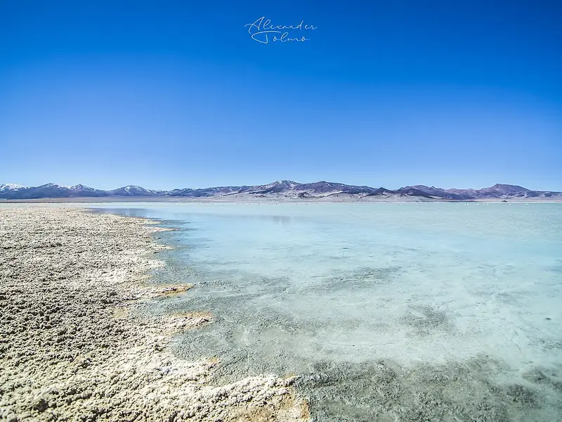
Salar de Surire Natural Monument is a wetland of international importance (Ramsar) in Chile, 4,256 m above the sea.
47 bird species have been recorded here more than once, in 681 open records.
The most recorded are the Andean Flamingo, the Chilean flamingo and the James's Flamingo.
8 species come for the summer, 6 for the winter and 1 only pass through.
2 are threatened worldwide, including Andean Flamingo and Andean Condor.
The most species are recorded in August.
Get there and watch
- Official informationAccess, hours and rules from those who manage the place.Official site↗
- Chacalluta International Airport (ARI)nearest airport with scheduled flights · 152 km in a straight lineCar hire at ARI airport (Arica)Discover Cars · sponsored link↗
Plan the visit
A guided walk, a bed nearby, a car.
Some links above are affiliate links: if you book through them we may earn a commission, at no extra cost to you. It never changes what the data on this page says.
From above
The place and its surroundings.
The satellite image of the 6 × 6 km around the place, with the bird hides, towers and trails that OpenStreetMap shows.
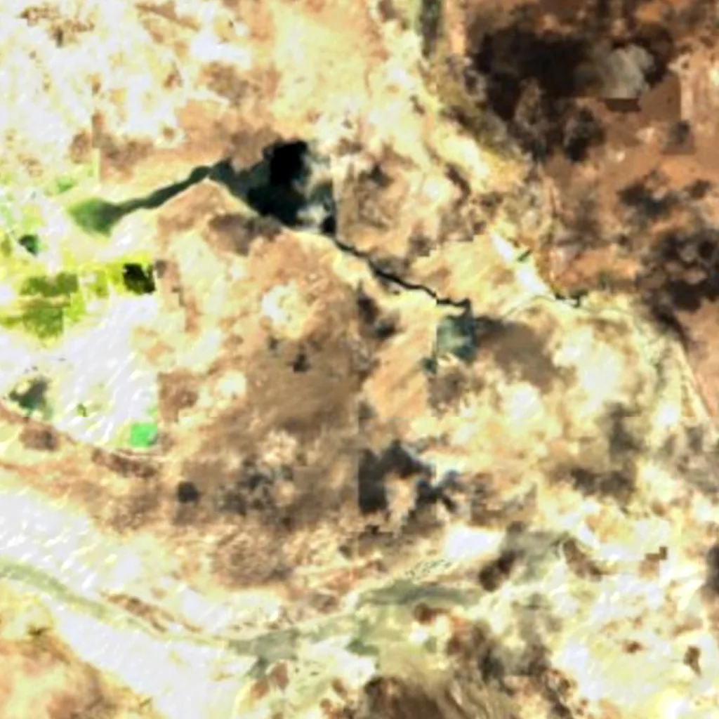
Around, in OpenStreetMap
- 1viewpoints within 5 km
- bird hides within 6 km
- observation towers within 6 km
- marked trails within 4 km
- visitor centres within 6 km
- car parks within 3 km
- restaurants and cafés within 3 km
- campsites within 10 km
- places to stay within 10 km
Counted in OpenStreetMap, the map anyone can edit. A low number may just mean nobody has mapped it yet.
In our other atlases
Around Salar de Surire Natural Monument.
The lakes, beaches, islands, rivers and mountains around this place, and its night sky, in the family's atlases.
 Peakyas71 mountains within 25 km
 Darkskyas1 dark-sky places within 30 km
Figures from the sister sites' databases (Wikidata, HydroATLAS, GeoNames, OpenStreetMap). Links open when each site is online.
Photographs
The place, as people saw it.
Other places nearby.
Salar de Surire Natural Monument
Chile
- 41Birdyas Score
- 47Species
- 15Migrants
- 2Threatened
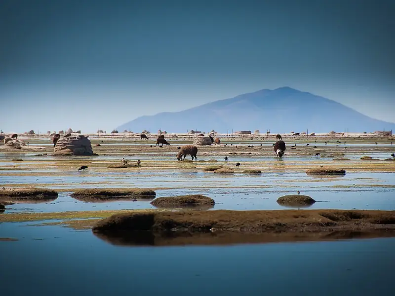
Salar del Huasco National Park
Chile · 162 km
- 49Birdyas Score
- 72Species
- 28Migrants
- 3Threatened
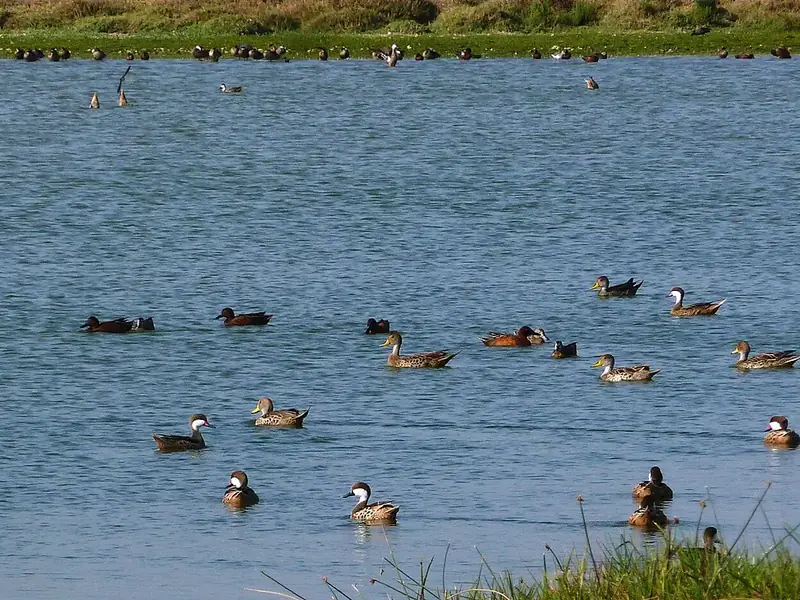
Lagunas de Mejía National Sanctuary
Peru · 357 km
- 74Birdyas Score
- 175Species
- 49Migrants
- 10Threatened
Where these figures come from
| Name and type | Wikidata (Q2944468) · CC0 |
|---|---|
| Birds | 681 open bird records within 6 km (GBIF, CC0 and CC BY 4.0 only; mostly eBird, Cornell Lab of Ornithology) |
| See these records | gbif.org |
| Species | GBIF Backbone Taxonomy · CC BY 4.0; Wikidata (CC0); Wikimedia Commons |
| Altitude | Copernicus DEM GLO-30 · © DLR e.V., © Airbus Defence and Space GmbH, Copernicus/ESA |
| Temperature and rain | NASA POWER (CERES SYN1deg, 2001–2020; MERRA-2) |
| What is around | © OpenStreetMap contributors · ODbL |
| Images | EOX Sentinel-2 cloudless 2016 · CC BY 4.0; Wikimedia Commons |
| Sister atlases | Peakyas, Darkskyas |
Every figure is an average, an estimate or a count from a public dataset. Licences and methods: data sources.
The family
Do you prefer beaches, lakes, mountains, waterfalls, islands, rivers, canyons, caves, dark skies, viewpoints, birdwatching or forests?
Same idea, other landscapes: field atlases built on open data, in seven languages.
 beaches
 Find your beach: sea temperature, sun and swimming month by month.Visit
  lakes
lakes Every lake on Earth: water temperature, ice, depth and the shore.Visit mountains
 Every summit in 3D: summit weather, the 0 °C line, huts and trails.Visit
  waterfalls
 Every waterfall: height, flow month by month and when it roars.Visit
  islands
 Every island from the sea up: size, sea temperature, ferries and 3D.Visit
  rivers
 Every river from source to sea: the journey, the flow and the basin in numbers.Visit
  canyons
 Every canyon cut to scale: depth to the floor, rim and floor temperatures, trails and viewpoints.Visit
  caves
caves Every cave with its real depth and length: the rock above, the temperature inside all year, and how to visit.Visit dark skies
 Where the night is still dark: the sky of every place, the Milky Way month by month, the Moon, eclipses and auroras.Visit
  viewpoints
 Every viewpoint with its real 360° panorama: the peaks you can name, how far you see and where the sun sets.Coming soonVisit
  birdwatching
 Every bird sanctuary and wetland with the species recorded month by month: who is resident, who comes for the summer, who only passes through.You are here
 forests
 Every forest with its land-cover rings, what grows and lives in it, and the best months to walk it.Coming soonVisit