 Paraguay Ramsar wetland
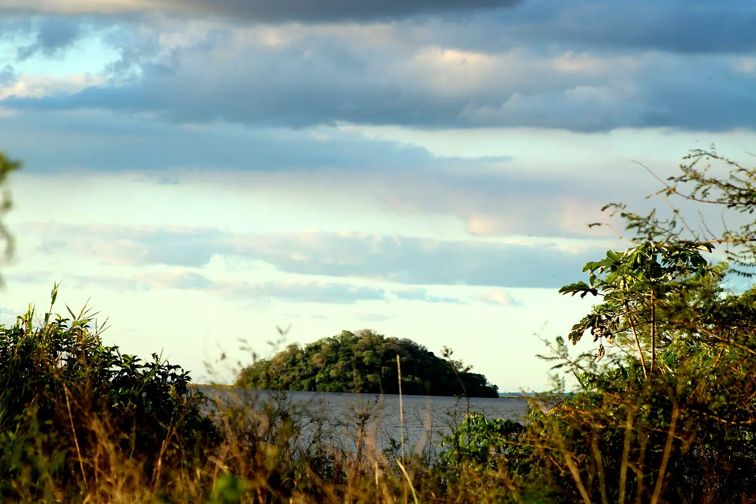
Lago Ypoa
30 bird species recorded; the most in February and in December.
Paolo Mendoza · CC BY-SA 4.0
This month here
0 species in January.27 species in February.0 species in March.0 species in April.0 species in May.0 species in June.0 species in July.0 species in August.5 species in September.0 species in October.0 species in November.29 species in December.
The birds you are most likely to see in the month you choose, those that come for the season first. It opens on today's month.
No records for this month.
No records for this month.
No records for this month.
No records for this month.
No records for this month.
No records for this month.
No records for this month.
No records for this month.
No records for this month.
- Resident all year
- Summer visitor comes to breed
- Winter visitor comes for the winter
- Passage migrant in spring and autumn
In numbers
30 species, counted.
Our own rating, from the records only: species (50 points), threatened species (20), migrants (20) and protected status — Ramsar, IBA, SPA, observatory (10).
- 30Speciesrecorded more than once
- 1Migrantssummer, winter or passage visitors
- 0ThreatenedVulnerable, Endangered or Critically Endangered (IUCN)
- 113Recordsopen records within 6 km
- 59 mAltitudeabove the sea
- 2Raptors
- 2Waders
- 20Songbirds
- 6Other birds
From open records (eBird and others, through GBIF, licensed for any use). More birdwatchers mean more records: a quiet place may have more birds than it shows.
The checklist
All 30 species.
By group, with the year in twelve cells: the darker the cell, the more often the bird is recorded that month.
Raptors2 species
- Lesser Yellow-headed VultureCathartes burrovianus
- Black VultureCoragyps atratus
Waders2 species
- Wattled JacanaJacana jacana
- Southern LapwingVanellus chilensis
Songbirds20 species
- Brown-chested MartinProgne tapera
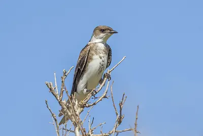
- Tropical KingbirdTyrannus melancholicus
- Purplish JayCyanocorax cyanomelas
- Plush-crested JayCyanocorax chrysops
- White MonjitaXolmis irupero
- Great KiskadeePitangus sulphuratus
- Cattle TyrantMachetornis rixosa
- Streaked FlycatcherMyiodynastes maculatus
- Greater ThornbirdPhacellodomus ruber
- Rufous HorneroFurnarius rufus
- Narrow-billed WoodcreeperLepidocolaptes angustirostris
- Yellow-chinned SpinetailCerthiaxis cinnamomeus
- Sayaca TanagerThraupis sayaca
- Rufous-bellied ThrushTurdus rufiventris
- Saffron FinchSicalis flaveola
- Red-crested CardinalParoaria coronata
- Black-capped DonacobiusDonacobius atricapilla
- Thrush-like WrenCampylorhynchus turdinus
- Southern House WrenTroglodytes musculus
- Saltator coerulescensSaltator coerulescens
Other birds6 species
- Picazuro PigeonPatagioenas picazuro
- Smooth-billed AniCrotophaga ani
- White-tipped DoveLeptotila verreauxi
- Greater AniCrotophaga major
- Dark-billed CuckooCoccyzus melacoryphus
- Striped CuckooTapera naevia
Monthly presence relative to all bird records that month, so a busy month does not inflate every species.
When to go
The most species in February and in December.
Species recorded in each month, with the usual temperature and rain.
- Jan34°/22°131 mm
- Feb34°/22°128 mm
- Mar32°/20°136 mm
- Apr29°/17°157 mm
- May24°/13°143 mm
- Jun22°/11°79 mm
- Jul21°/10°67 mm
- Aug24°/11°47 mm
- Sep27°/14°80 mm
- Oct30°/18°169 mm
- Nov31°/19°185 mm
- Dec33°/21°172 mm
- Bar: species recorded that month.
- Temperature: average maximum / minimum (NASA, 1991–2020).
- Rain: monthly total.
The place
Lago Ypoa.
Lago Ypoa is a wetland of international importance (Ramsar) in Paraguay.
30 bird species have been recorded here more than once, in 113 open records.
The most recorded are the Brown-chested Martin, the Picazuro Pigeon and the Smooth-billed Ani.
1 species come for the summer, 0 for the winter and 0 only pass through.
The most species are recorded in February and in December.
Get there and watch
- Quiindynearest town · 21 km in a straight line
- Silvio Pettirossi International Airport (ASU)nearest airport with scheduled flights · 75 km in a straight lineCar hire at ASU airport (Asunción)Discover Cars · sponsored link↗
Plan the visit
A guided walk, a bed nearby, a car.
Some links above are affiliate links: if you book through them we may earn a commission, at no extra cost to you. It never changes what the data on this page says.
From above
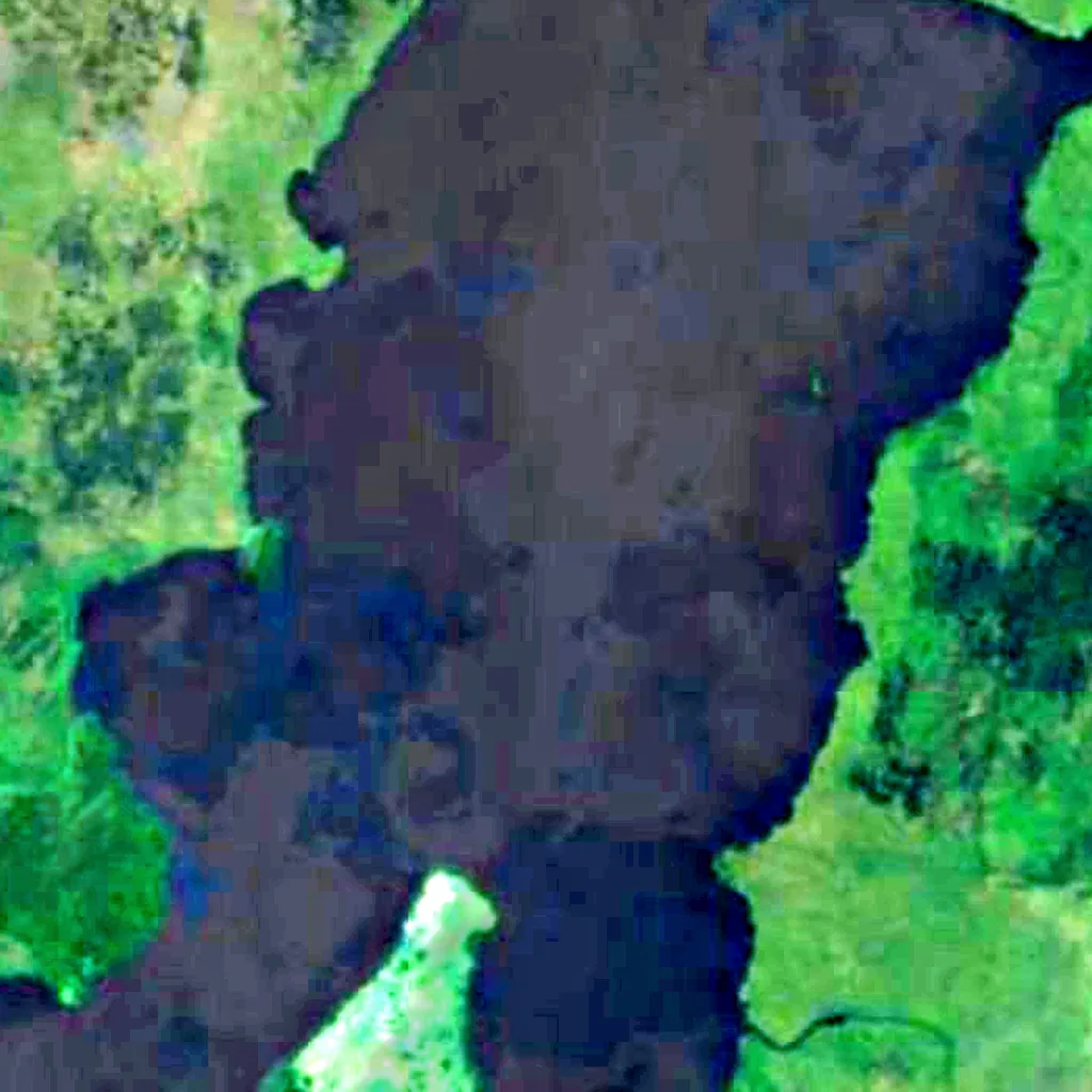
The place and its surroundings.
The satellite image of the 6 × 6 km around the place, with the bird hides, towers and trails that OpenStreetMap shows.
Around, in OpenStreetMap
- bird hides within 6 km
- observation towers within 6 km
- marked trails within 4 km
- visitor centres within 6 km
- viewpoints within 5 km
- car parks within 3 km
- restaurants and cafés within 3 km
- campsites within 10 km
- places to stay within 10 km
Counted in OpenStreetMap, the map anyone can edit. A low number may just mean nobody has mapped it yet.
In our other atlases
Around Lago Ypoa.
The lakes, beaches, islands, rivers and mountains around this place, and its night sky, in the family's atlases.
 Lakeyas2 lakes within 15 km
Figures from the sister sites' databases (Wikidata, HydroATLAS, GeoNames, OpenStreetMap). Links open when each site is online.
Photographs
The place, as people saw it.

Other places nearby.
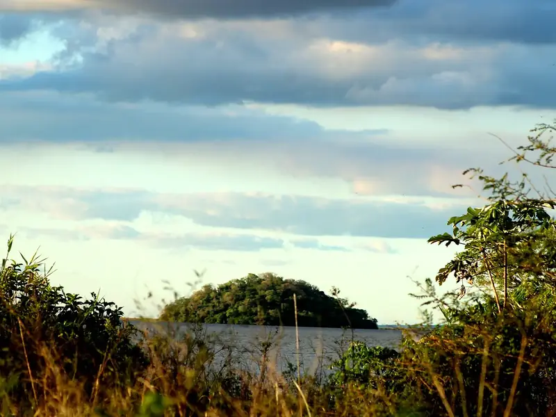
Lago Ypoa
Paraguay
- 31Birdyas Score
- 30Species
- 1Migrants
- 0Threatened
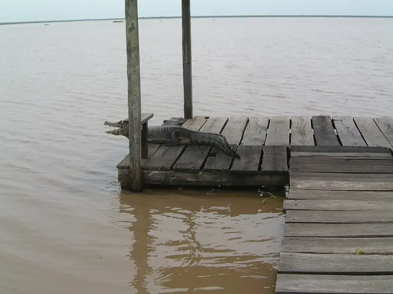
Río Pilcomayo National Park
Argentina · 118 km
- 69Birdyas Score
- 259Species
- 96Migrants
- 1Threatened
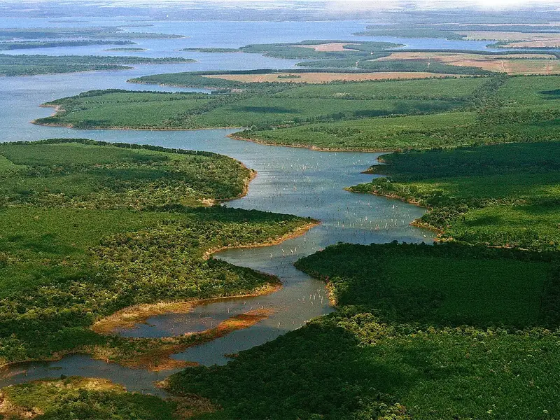
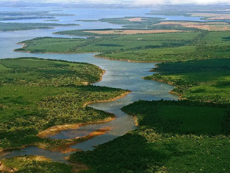
Iberá Provincial Reserve
Argentina · 301 km
- 45Birdyas Score
- 129Species
- 15Migrants
- 0Threatened
Where these figures come from
| Name and type | Wikidata (Q3752132) · CC0 |
|---|---|
| Birds | 113 open bird records within 6 km (GBIF, CC0 and CC BY 4.0 only; mostly eBird, Cornell Lab of Ornithology) |
| See these records | gbif.org |
| Species | GBIF Backbone Taxonomy · CC BY 4.0; Wikidata (CC0); Wikimedia Commons |
| Altitude | Copernicus DEM GLO-30 · © DLR e.V., © Airbus Defence and Space GmbH, Copernicus/ESA |
| Temperature and rain | NASA POWER (CERES SYN1deg, 2001–2020; MERRA-2) |
| What is around | © OpenStreetMap contributors · ODbL |
| Images | EOX Sentinel-2 cloudless 2016 · CC BY 4.0; Wikimedia Commons |
| Sister atlases | Lakeyas |
Every figure is an average, an estimate or a count from a public dataset. Licences and methods: data sources.
The family
Do you prefer beaches, lakes, mountains, waterfalls, islands, rivers, canyons, caves, dark skies, viewpoints, birdwatching or forests?
Same idea, other landscapes: field atlases built on open data, in seven languages.
 beaches
 Find your beach: sea temperature, sun and swimming month by month.Visit lakes
 Every lake on Earth: water temperature, ice, depth and the shore.Visit
  mountains
 Every summit in 3D: summit weather, the 0 °C line, huts and trails.Visit
  waterfalls
 Every waterfall: height, flow month by month and when it roars.Visit
  islands
 Every island from the sea up: size, sea temperature, ferries and 3D.Visit
  rivers
 Every river from source to sea: the journey, the flow and the basin in numbers.Visit
  canyons
 Every canyon cut to scale: depth to the floor, rim and floor temperatures, trails and viewpoints.Visit
  caves
caves Every cave with its real depth and length: the rock above, the temperature inside all year, and how to visit.Visit
  dark skies
 Where the night is still dark: the sky of every place, the Milky Way month by month, the Moon, eclipses and auroras.Visit
  viewpoints
 Every viewpoint with its real 360° panorama: the peaks you can name, how far you see and where the sun sets.Coming soonVisit
  birdwatching
 Every bird sanctuary and wetland with the species recorded month by month: who is resident, who comes for the summer, who only passes through.You are here
 forests
 Every forest with its land-cover rings, what grows and lives in it, and the best months to walk it.Coming soonVisit