 India Ramsar wetland
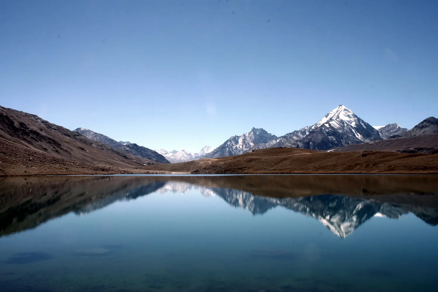
Chandra Taal
40 bird species recorded; the most from June to July and in September.
Lodhra · CC BY-SA 3.0
This month here
0 species in January.0 species in February.0 species in March.0 species in April.0 species in May.27 species in June.27 species in July.24 species in August.25 species in September.9 species in October.0 species in November.0 species in December.
The birds you are most likely to see in the month you choose, those that come for the season first. It opens on today's month.
No records for this month.
No records for this month.
No records for this month.
No records for this month.
No records for this month.
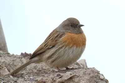
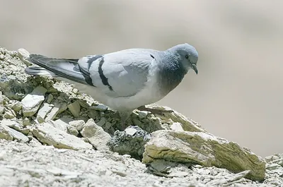
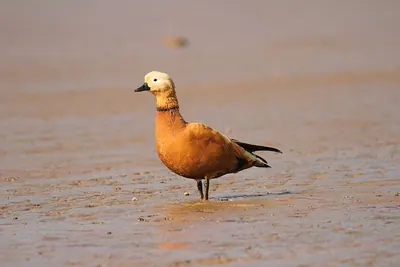
No records for this month.
No records for this month.
- Resident all year
- Summer visitor comes to breed
- Winter visitor comes for the winter
- Passage migrant in spring and autumn
In numbers
40 species, counted.
Our own rating, from the records only: species (50 points), threatened species (20), migrants (20) and protected status — Ramsar, IBA, SPA, observatory (10).
- 40Speciesrecorded more than once
- 22Migrantssummer, winter or passage visitors
- 0ThreatenedVulnerable, Endangered or Critically Endangered (IUCN)
- 436Recordsopen records within 6 km
- 4,270 mAltitudeabove the sea
- 3Raptors
- 5Waders
- 1Ducks & geese
- 25Songbirds
- 6Other birds
From open records (eBird and others, through GBIF, licensed for any use). More birdwatchers mean more records: a quiet place may have more birds than it shows.
The checklist
All 40 species.
By group, with the year in twelve cells: the darker the cell, the more often the bird is recorded that month.
Raptors3 species
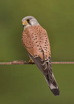
- Common KestrelFalco tinnunculus
- Gyps himalayensisGyps himalayensis
- Golden EagleAquila chrysaetos
Waders5 species
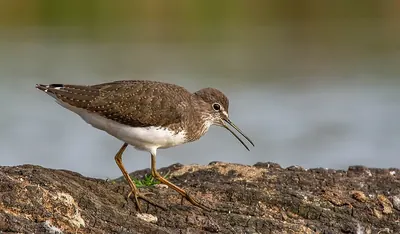
- Green SandpiperTringa ochropus
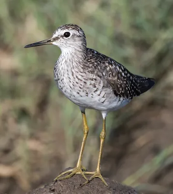
- Wood SandpiperTringa glareola
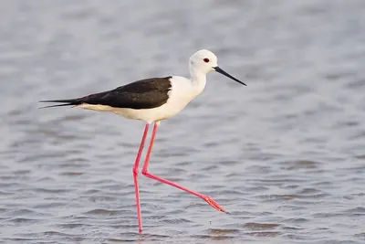
- Black-winged StiltHimantopus himantopus
- Common SandpiperActitis hypoleucos
- Red-necked PhalaropePhalaropus lobatus
Ducks & geese1 species
- Ruddy ShelduckTadorna ferruginea
Songbirds25 species
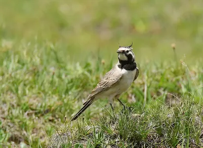
- Shore LarkEremophila alpestris
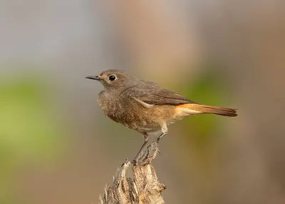
- Black RedstartPhoenicurus ochruros
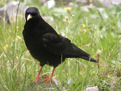
- Alpine ChoughPyrrhocorax graculus
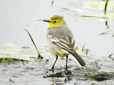
- Citrine WagtailMotacilla citreola
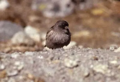
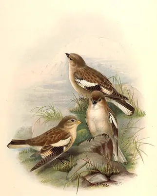
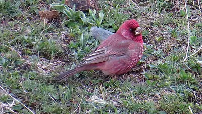
- Brandt’s Mountain FinchLeucosticte brandti
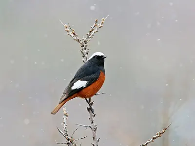
- White-winged RedstartPhoenicurus erythrogastrus
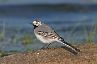
- White WagtailMotacilla alba
- Black-winged SnowfinchMontifringilla adamsi
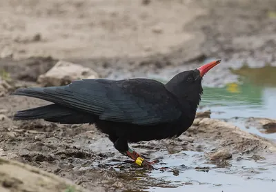
- ChoughPyrrhocorax pyrrhocorax
- Plain Mountain-FinchLeucosticte nemoricola
- Robin AccentorPrunella rubeculoides
- Rock BuntingEmberiza cia
- Spotted Great RosefinchCarpodacus rubicilla
- Rosy PipitAnthus roseatus
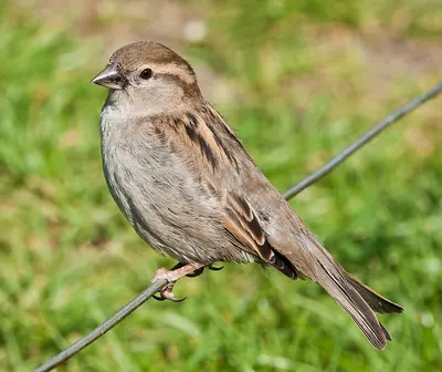
- House SparrowPasser domesticus
- Northern RavenCorvus corax
- Grey WagtailMotacilla cinerea
- Alpine AccentorPrunella collaris
- Sulphur-bellied WarblerPhylloscopus griseolus
- Common RosefinchCarpodacus erythrinus
- Red-fronted RosefinchCarpodacus puniceus
- White-throated DipperCinclus cinclus
- Hume’s Short-toed LarkCalandrella acutirostris
- Grey Bush ChatSaxicola ferreus
- Blue Whistling ThrushMyophonus caeruleus
Other birds6 species
- Hill PigeonColumba rupestris
- Himalayan SnowcockTetraogallus himalayensis
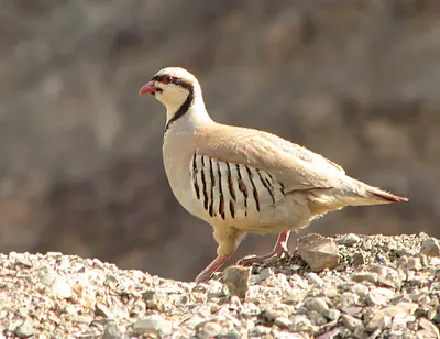
- Chukar PartridgeAlectoris chukar
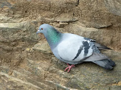
- Rock DoveColumba livia
- Eurasian HoopoeUpupa epops
- Snow PigeonColumba leuconota
Monthly presence relative to all bird records that month, so a busy month does not inflate every species.
When to go
The most species from June to July and in September.
Species recorded in each month, with the usual temperature and rain.
- Jan-13°/-23°32 mm
- Feb-12°/-23°36 mm
- Mar-8°/-19°38 mm
- Apr-3°/-13°26 mm
- May1°/-7°27 mm
- Jun6°/-4°72 mm
- Jul8°/0°161 mm
- Aug8°/0°168 mm
- Sep4°/-5°82 mm
- Oct-1°/-11°10 mm
- Nov-7°/-17°13 mm
- Dec-11°/-21°13 mm
- Bar: species recorded that month.
- Temperature: average maximum / minimum (NASA, 1991–2020).
- Rain: monthly total.
The place
Chandra Taal.
Lake situated in the Lahaul part of the Lahul and Spiti district of Himachal Pradesh (India)
Chandra Taal is a wetland of international importance (Ramsar) in India, 4,270 m above the sea.
40 bird species have been recorded here more than once, in 436 open records.
The most recorded are the Shore Lark, the Black Redstart and the Alpine Chough.
21 species come for the summer, 0 for the winter and 1 only pass through.
The most species are recorded from June to July and in September.
Get there and watch
- Official informationAccess, hours and rules from those who manage the place.Official site↗
- Samsong campingcampsite · 2.9 km · 5 within 10 km
- Kullu Manali Airport (KUU)nearest airport with scheduled flights · 80 km in a straight lineCar hire at IXC airport (Chandigarh)Discover Cars · sponsored link↗
Plan the visit
A guided walk, a bed nearby, a car.
Some links above are affiliate links: if you book through them we may earn a commission, at no extra cost to you. It never changes what the data on this page says.
From above
The place and its surroundings.
The satellite image of the 6 × 6 km around the place, with the bird hides, towers and trails that OpenStreetMap shows.
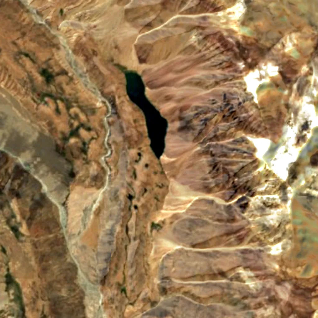
Around, in OpenStreetMap
- 2marked trails within 4 kmKunzum La, Chandra Tal to Baralacha La
- 1car parks within 3 km
- 5campsites within 10 kmSamsong camping, Moon Lake and 3 more
- bird hides within 6 km
- observation towers within 6 km
- visitor centres within 6 km
- viewpoints within 5 km
- restaurants and cafés within 3 km
- places to stay within 10 km
Counted in OpenStreetMap, the map anyone can edit. A low number may just mean nobody has mapped it yet.
In our other atlases
Around Chandra Taal.
The lakes, beaches, islands, rivers and mountains around this place, and its night sky, in the family's atlases.
 Peakyas1 mountains within 25 km
 Lakeyas1 lakes within 15 km
 Darkskyas1 dark-sky places within 30 km
 Riveryasthe river nearby
Figures from the sister sites' databases (Wikidata, HydroATLAS, GeoNames, OpenStreetMap). Links open when each site is online.
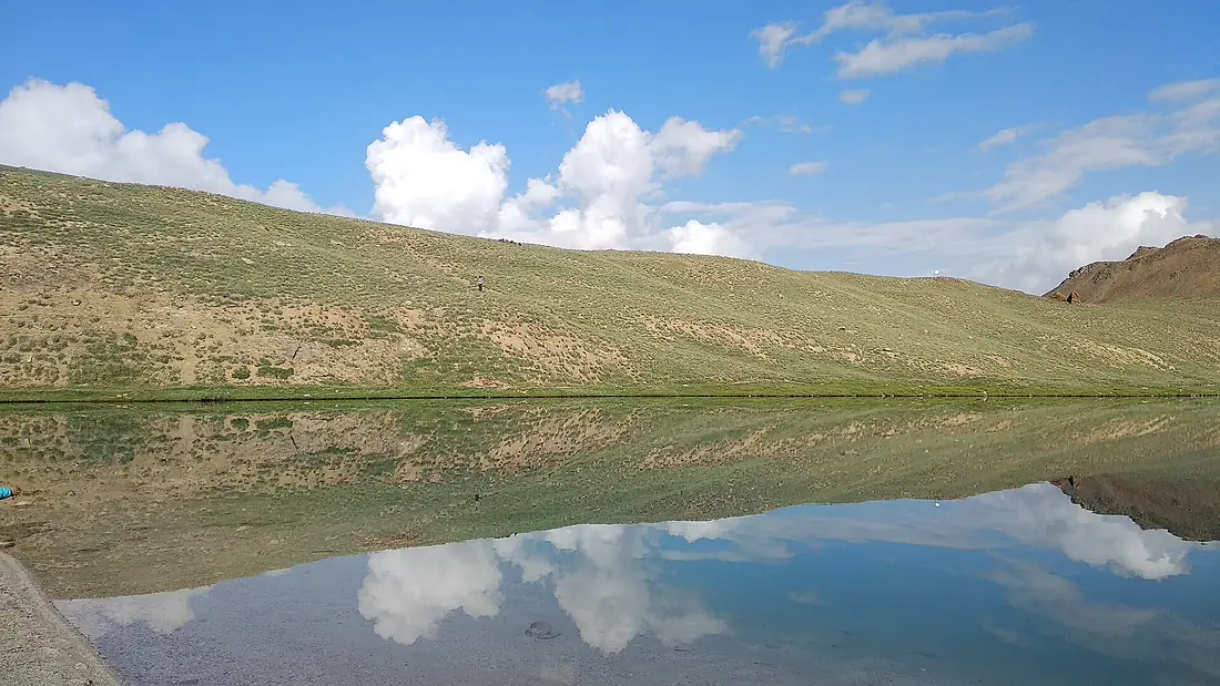
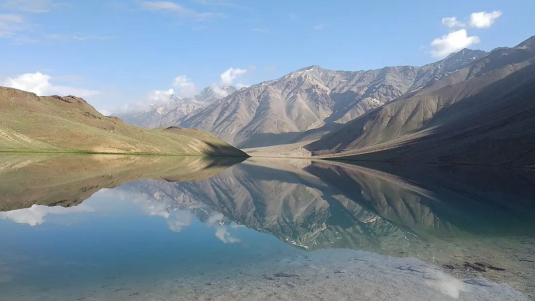
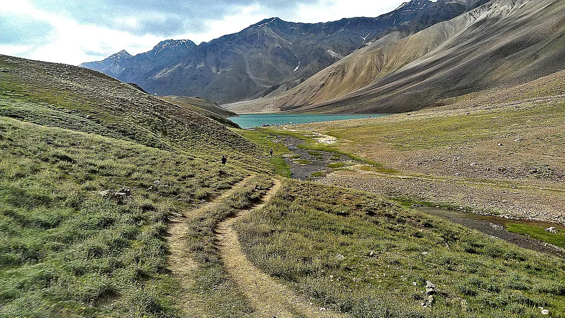
Photographs
The place, as people saw it.
Other places nearby.
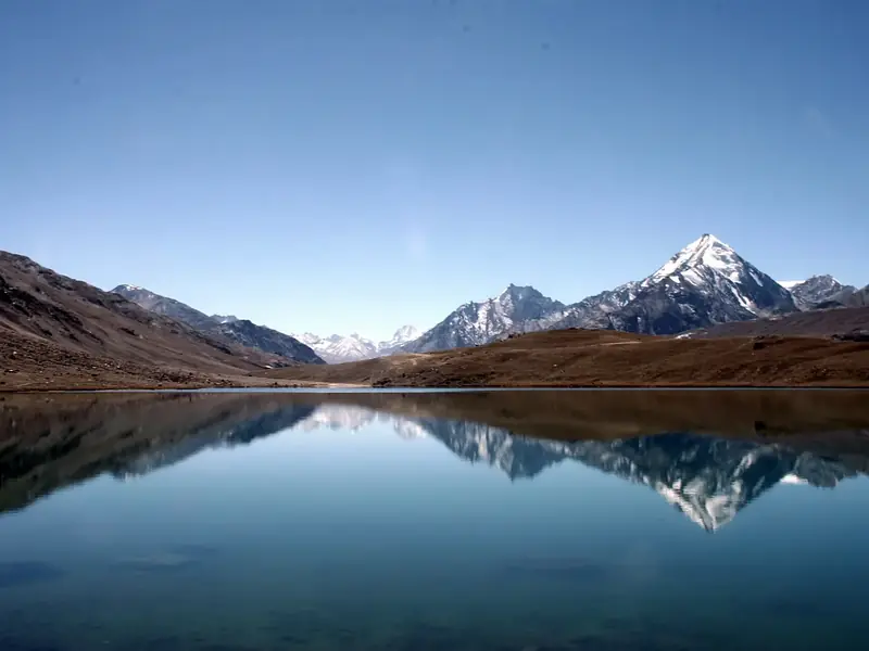
Chandra Taal
India
- 37Birdyas Score
- 40Species
- 22Migrants
- 0Threatened
Where these figures come from
| Name and type | Wikidata (Q5071315) · CC0 |
|---|---|
| Birds | 436 open bird records within 6 km (GBIF, CC0 and CC BY 4.0 only; mostly eBird, Cornell Lab of Ornithology) |
| See these records | gbif.org |
| Species | GBIF Backbone Taxonomy · CC BY 4.0; Wikidata (CC0); Wikimedia Commons |
| Altitude | Copernicus DEM GLO-30 · © DLR e.V., © Airbus Defence and Space GmbH, Copernicus/ESA |
| Temperature and rain | NASA POWER (CERES SYN1deg, 2001–2020; MERRA-2) |
| What is around | © OpenStreetMap contributors · ODbL |
| Images | EOX Sentinel-2 cloudless 2016 · CC BY 4.0; Wikimedia Commons |
| Sister atlases | Peakyas, Lakeyas, Darkskyas, Riveryas |
Every figure is an average, an estimate or a count from a public dataset. Licences and methods: data sources.
The family
Do you prefer beaches, lakes, mountains, waterfalls, islands, rivers, canyons, caves, dark skies, viewpoints, birdwatching or forests?
Same idea, other landscapes: field atlases built on open data, in seven languages.
 beaches
 Find your beach: sea temperature, sun and swimming month by month.Visit lakes
 Every lake on Earth: water temperature, ice, depth and the shore.Visit mountains
 Every summit in 3D: summit weather, the 0 °C line, huts and trails.Visit
  waterfalls
 Every waterfall: height, flow month by month and when it roars.Visit
  islands
 Every island from the sea up: size, sea temperature, ferries and 3D.Visit rivers
 Every river from source to sea: the journey, the flow and the basin in numbers.Visit
  canyons
 Every canyon cut to scale: depth to the floor, rim and floor temperatures, trails and viewpoints.Visit
  caves
caves Every cave with its real depth and length: the rock above, the temperature inside all year, and how to visit.Visit dark skies
 Where the night is still dark: the sky of every place, the Milky Way month by month, the Moon, eclipses and auroras.Visit
  viewpoints
 Every viewpoint with its real 360° panorama: the peaks you can name, how far you see and where the sun sets.Coming soonVisit
  birdwatching
 Every bird sanctuary and wetland with the species recorded month by month: who is resident, who comes for the summer, who only passes through.You are here
 forests
 Every forest with its land-cover rings, what grows and lives in it, and the best months to walk it.Coming soonVisit