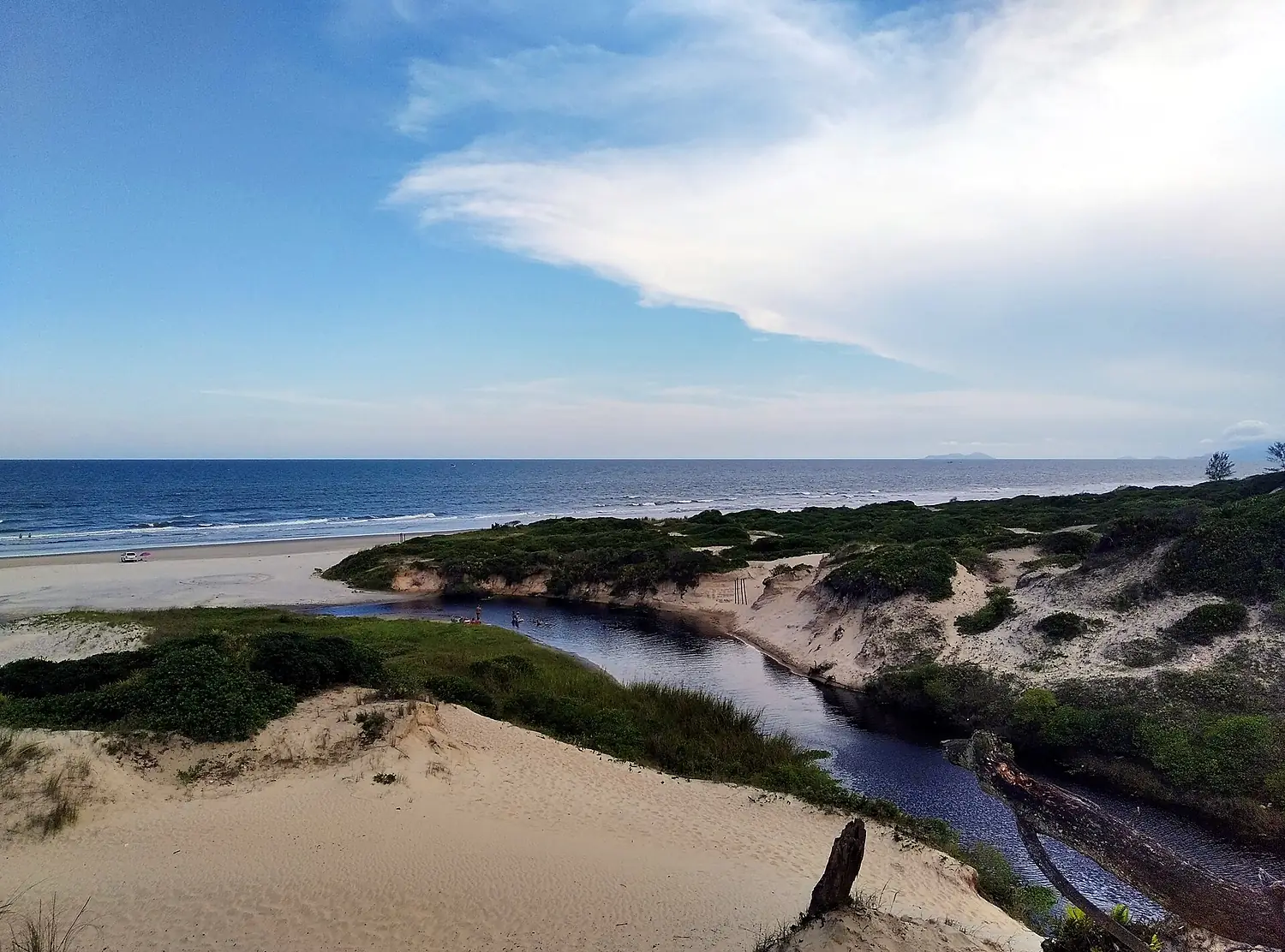
 Brazil Ramsar wetland
Cananéia-Iguape-Peruíbe Environmental Protection Area
47 bird species recorded; the most in October.
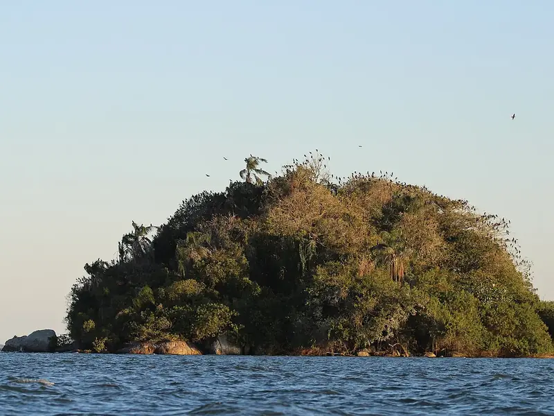
Wladimir Stempniak Mesko · CC BY-SA 4.0
This month here
0 species in January.0 species in February.0 species in March.0 species in April.2 species in May.1 species in June.19 species in July.1 species in August.3 species in September.34 species in October.19 species in November.0 species in December.
The birds you are most likely to see in the month you choose, those that come for the season first. It opens on today's month.
No records for this month.
No records for this month.
No records for this month.
No records for this month.
 NTNT
NTNT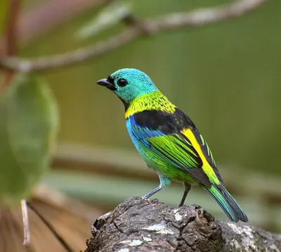
No records for this month.
NTNTNTNo records for this month.
- Resident all year
- Summer visitor comes to breed
- Winter visitor comes for the winter
- Passage migrant in spring and autumn
In numbers
47 species, counted.
Our own rating, from the records only: species (50 points), threatened species (20), migrants (20) and protected status — Ramsar, IBA, SPA, observatory (10).
- 47Speciesrecorded more than once
- 1Migrantssummer, winter or passage visitors
- 0ThreatenedVulnerable, Endangered or Critically Endangered (IUCN)
- 353Recordsopen records within 6 km
- 339 mAltitudeabove the sea
- 4Raptors
- 3Gulls & seabirds
- 1Ducks & geese
- 4Herons, ibises & grebes
- 29Songbirds
- 6Other birds
From open records (eBird and others, through GBIF, licensed for any use). More birdwatchers mean more records: a quiet place may have more birds than it shows.
The checklist
All 47 species.
By group, with the year in twelve cells: the darker the cell, the more often the bird is recorded that month.
Raptors4 species
- Roadside HawkRupornis magnirostris
- White-necked hawkLeucopternis lacernulatus
- Turkey VultureCathartes aura
- Black VultureCoragyps atratus
Gulls & seabirds3 species
- Magnificent FrigatebirdFregata magnificens
- Brown BoobySula leucogaster
- Southern Black-backed GullLarus dominicanus
Ducks & geese1 species
- Cairina moschataCairina moschata
Herons, ibises & grebes4 species
- Phalacrocorax brasilianusPhalacrocorax brasilianus
- Great White EgretArdea alba
- Snowy EgretEgretta thula
- Little Blue HeronEgretta caerulea
Songbirds29 species
- Tropical KingbirdTyrannus melancholicus
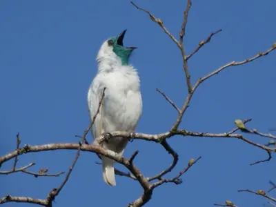
- Bare-throated BellbirdProcnias nudicollisNT
- Green-headed TanagerTangara seledon
- Social FlycatcherMyiozetetes similis
- Brazilian TanagerRamphocelus bresilia
- Saffron FinchSicalis flaveola
- Great KiskadeePitangus sulphuratus
- Yellow-lored Tody-FlycatcherTodirostrum poliocephalum
- Streaked FlycatcherMyiodynastes maculatus
- Red-eyed VireoVireo olivaceus
- Blue DacnisDacnis cayana
- Black-throated GrosbeakSaltator fuliginosus
- Rufous-collared SparrowZonotrichia capensis
- Tropical ParulaSetophaga pitiayumi
- Thraupis palmarumThraupis palmarum
- Southern Rough-winged SwallowStelgidopteryx ruficollis
- Blue-and-white SwallowNotiochelidon cyanoleuca
- BananaquitCoereba flaveola
- House SparrowPasser domesticus
- Southern House WrenTroglodytes musculus
- Violaceous EuphoniaEuphonia violacea
- Red-rumped CaciqueCacicus haemorrhous
- Riverbank WarblerMyiothlypis rivularis
- Azure JayCyanocorax caeruleus
- Red-ruffed FruitcrowPyroderus scutatus
- Chestnut-bellied EuphoniaEuphonia pectoralis
- Swallow TanagerTersina viridis
- Rufous-bellied ThrushTurdus rufiventris
- White-winged SwallowTachycineta albiventer
Other birds6 species
- Ringed KingfisherMegaceryle torquata
- Pale-vented PigeonPatagioenas cayennensis
- Plain ParakeetBrotogeris tirica
- Aramides cajaneaAramides cajanea
- Channel-billed ToucanRamphastos vitellinus
- Blue-winged ParrotletForpus xanthopterygius
Monthly presence relative to all bird records that month, so a busy month does not inflate every species.
When to go
The most species in October.
Species recorded in each month, with the usual temperature and rain.
- Jan27°/22°258 mm
- Feb28°/22°222 mm
- Mar27°/21°197 mm
- Apr25°/19°130 mm
- May22°/16°112 mm
- Jun21°/15°97 mm
- Jul21°/14°106 mm
- Aug22°/14°70 mm
- Sep23°/15°120 mm
- Oct24°/17°143 mm
- Nov25°/18°158 mm
- Dec27°/20°192 mm
- Bar: species recorded that month.
- Temperature: average maximum / minimum (NASA, 1991–2020).
- Rain: monthly total.
The place
Cananéia-Iguape-Peruíbe Environmental Protection Area.
Protected area in the State of São Paulo, Brazil
Cananéia-Iguape-Peruíbe Environmental Protection Area is a wetland of international importance (Ramsar) in Brazil, 339 m above the sea.
47 bird species have been recorded here more than once, in 353 open records.
The most recorded are the Phalacrocorax brasilianus, the Tropical Kingbird and the Bare-throated Bellbird.
0 species come for the summer, 1 for the winter and 0 only pass through.
The most species are recorded in October.
Get there and watch
- Pariquera-Açunearest town · 15 km in a straight line
- Curitiba-Afonso Pena International Airport (CWB)nearest airport with scheduled flights · 152 km in a straight lineCar hire at CWB airport (Curitiba)Discover Cars · sponsored link↗
Plan the visit
A guided walk, a bed nearby, a car.
Some links above are affiliate links: if you book through them we may earn a commission, at no extra cost to you. It never changes what the data on this page says.
From above
The place and its surroundings.
The satellite image of the 6 × 6 km around the place, with the bird hides, towers and trails that OpenStreetMap shows.
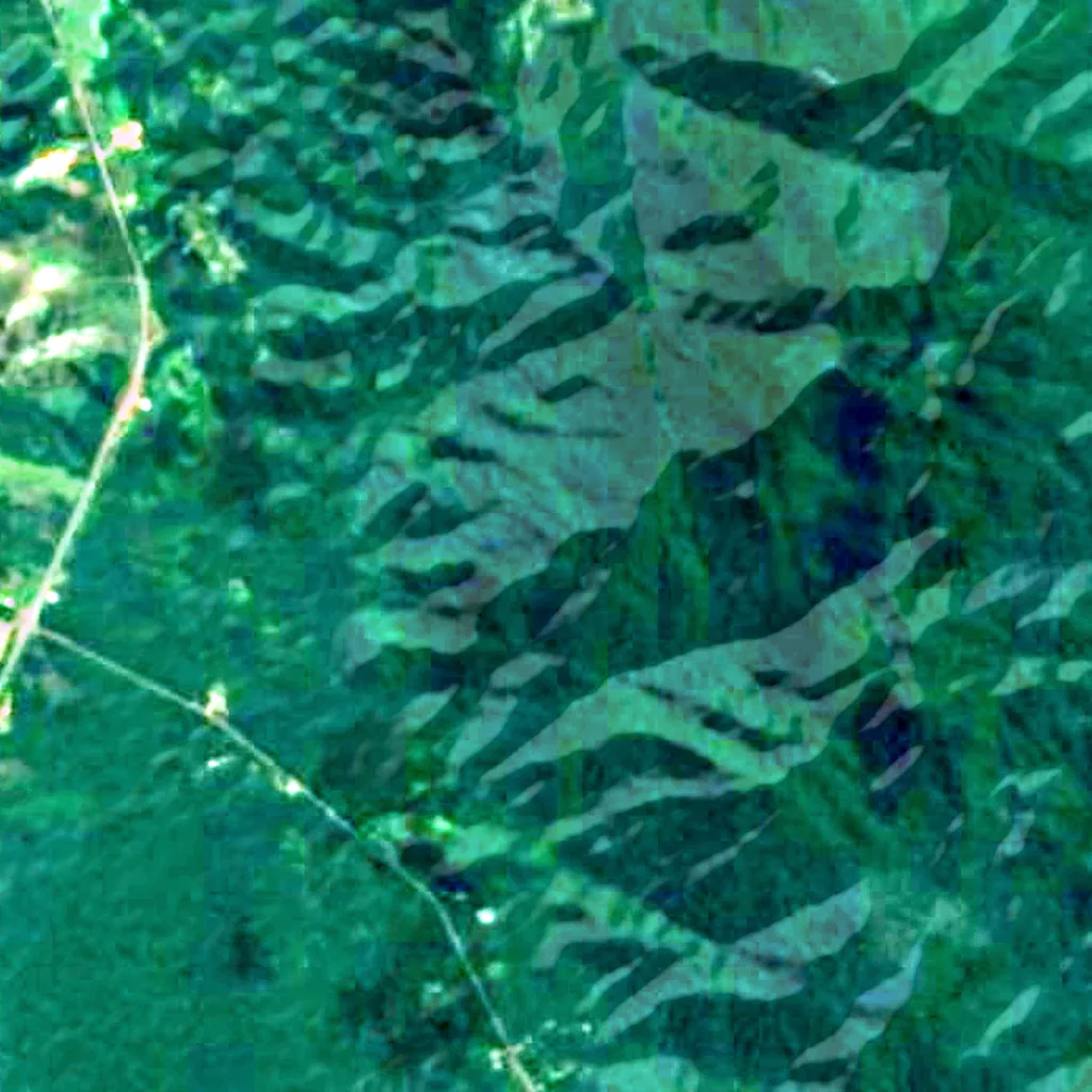
Around, in OpenStreetMap
- bird hides within 6 km
- observation towers within 6 km
- marked trails within 4 km
- visitor centres within 6 km
- viewpoints within 5 km
- car parks within 3 km
- restaurants and cafés within 3 km
- campsites within 10 km
- places to stay within 10 km
Counted in OpenStreetMap, the map anyone can edit. A low number may just mean nobody has mapped it yet.
In our other atlases
Around Cananéia-Iguape-Peruíbe Environmental Protection Area.
The lakes, beaches, islands, rivers and mountains around this place, and its night sky, in the family's atlases.
 Peakyas11 mountains within 25 km
Figures from the sister sites' databases (Wikidata, HydroATLAS, GeoNames, OpenStreetMap). Links open when each site is online.
Photographs
The place, as people saw it.
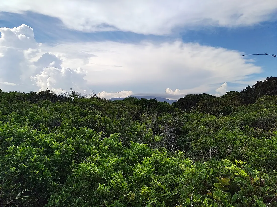
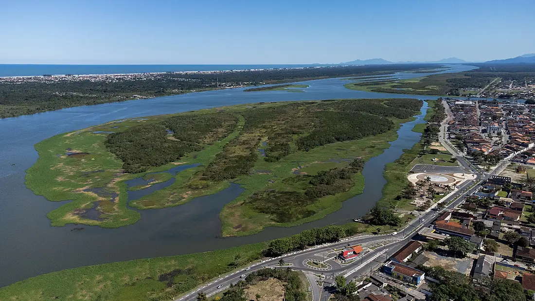
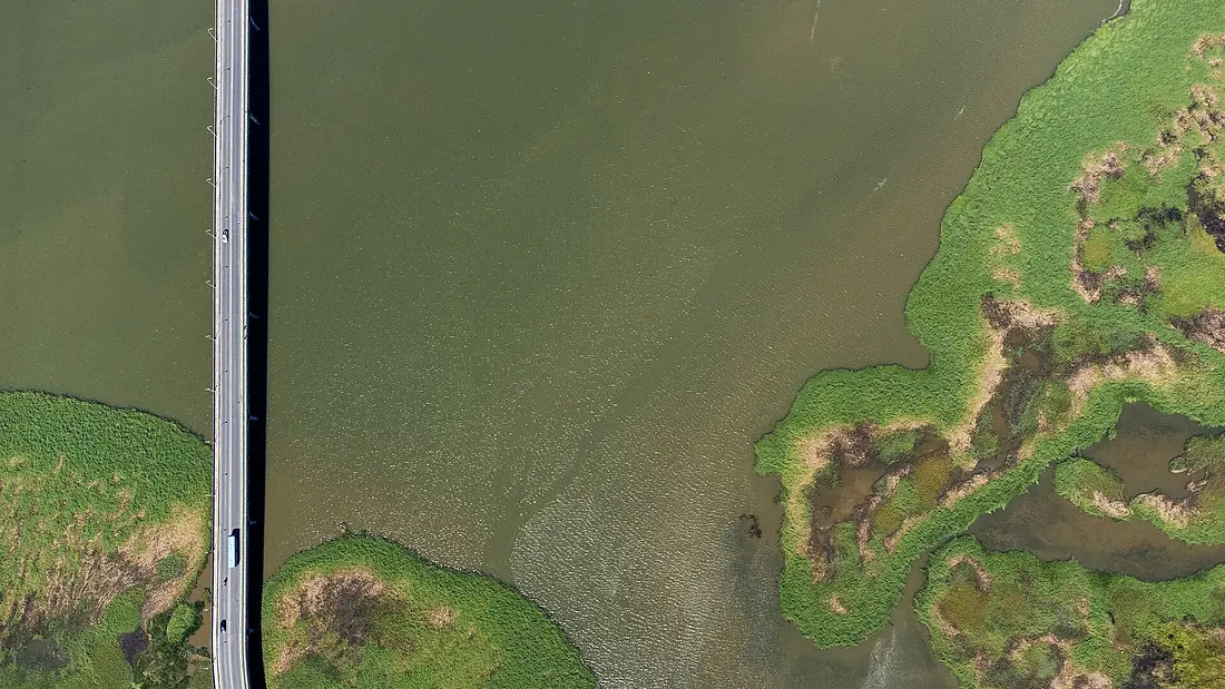
Other places nearby.
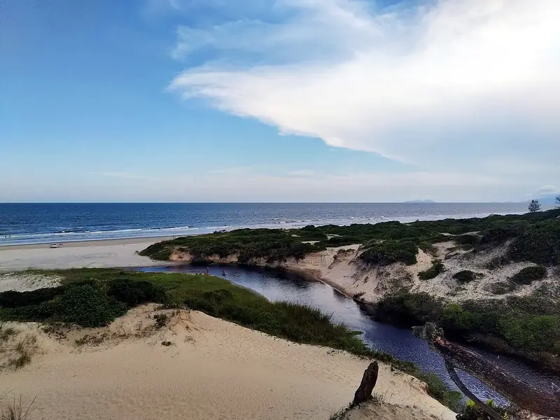
Cananéia-Iguape-Peruíbe Environmental Protection Area
Brazil
- 34Birdyas Score
- 47Species
- 1Migrants
- 0Threatened
Guaraqueçaba Ecological Station
Brazil · 68 km
- 54Birdyas Score
- 139Species
- 46Migrants
- 1Threatened
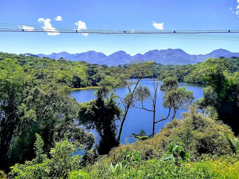
Guaratuba State Environmental Protection Area
Brazil · 136 km
- 32Birdyas Score
- 35Species
- 0Migrants
- 0Threatened
Where these figures come from
| Name and type | Wikidata (Q5031122) · CC0 |
|---|---|
| Birds | 353 open bird records within 6 km (GBIF, CC0 and CC BY 4.0 only; mostly eBird, Cornell Lab of Ornithology) |
| See these records | gbif.org |
| Species | GBIF Backbone Taxonomy · CC BY 4.0; Wikidata (CC0); Wikimedia Commons |
| Altitude | Copernicus DEM GLO-30 · © DLR e.V., © Airbus Defence and Space GmbH, Copernicus/ESA |
| Temperature and rain | NASA POWER (CERES SYN1deg, 2001–2020; MERRA-2) |
| What is around | © OpenStreetMap contributors · ODbL |
| Images | EOX Sentinel-2 cloudless 2016 · CC BY 4.0; Wikimedia Commons |
| Sister atlases | Peakyas |
Every figure is an average, an estimate or a count from a public dataset. Licences and methods: data sources.
The family
Do you prefer beaches, lakes, mountains, waterfalls, islands, rivers, canyons, caves, dark skies, viewpoints, birdwatching or forests?
Same idea, other landscapes: field atlases built on open data, in seven languages.
 beaches
 Find your beach: sea temperature, sun and swimming month by month.Visit
  lakes
lakes Every lake on Earth: water temperature, ice, depth and the shore.Visit mountains
 Every summit in 3D: summit weather, the 0 °C line, huts and trails.Visit
  waterfalls
 Every waterfall: height, flow month by month and when it roars.Visit
  islands
 Every island from the sea up: size, sea temperature, ferries and 3D.Visit
  rivers
 Every river from source to sea: the journey, the flow and the basin in numbers.Visit
  canyons
 Every canyon cut to scale: depth to the floor, rim and floor temperatures, trails and viewpoints.Visit
  caves
caves Every cave with its real depth and length: the rock above, the temperature inside all year, and how to visit.Visit
  dark skies
 Where the night is still dark: the sky of every place, the Milky Way month by month, the Moon, eclipses and auroras.Visit
  viewpoints
 Every viewpoint with its real 360° panorama: the peaks you can name, how far you see and where the sun sets.Coming soonVisit
  birdwatching
 Every bird sanctuary and wetland with the species recorded month by month: who is resident, who comes for the summer, who only passes through.You are here
 forests
 Every forest with its land-cover rings, what grows and lives in it, and the best months to walk it.Coming soonVisit